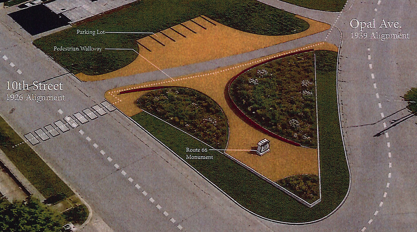
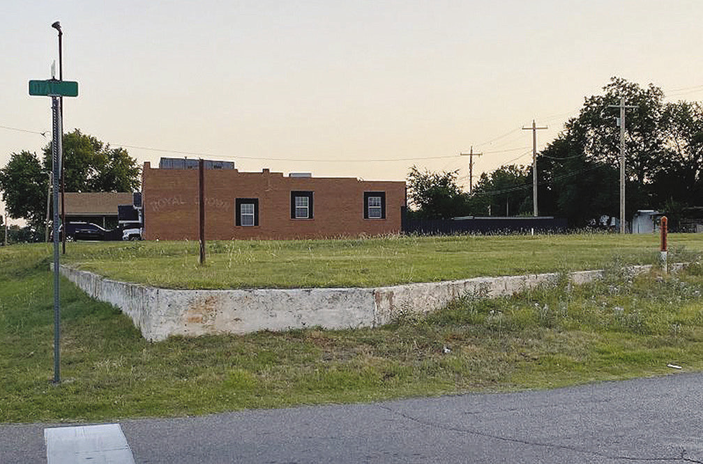
The image above depicts an artist’s rendering of the proposed new location of a Rt. 66 monument at the “The Triangle” located where 10th Street and Opal Avenue converge. Below is a photo of what the present-day location looks like. CDN | Courtesy photo
Site purchased for Rt. 66 monument
At Tuesday evening’s meeting of the Clinton City Council, officials approved the purchase of a piece of land colloquially referred to as “The Triangle,” which sits across from McLain Rogers Park. The Triangle will house a monument which will be provided to the City by the Route 66 Centennial Commission.
The property, located where 10th Street and Opal Avenue meet, is being purchased from Donelle Ra…